 4x4
4x4Every F-Road In Iceland
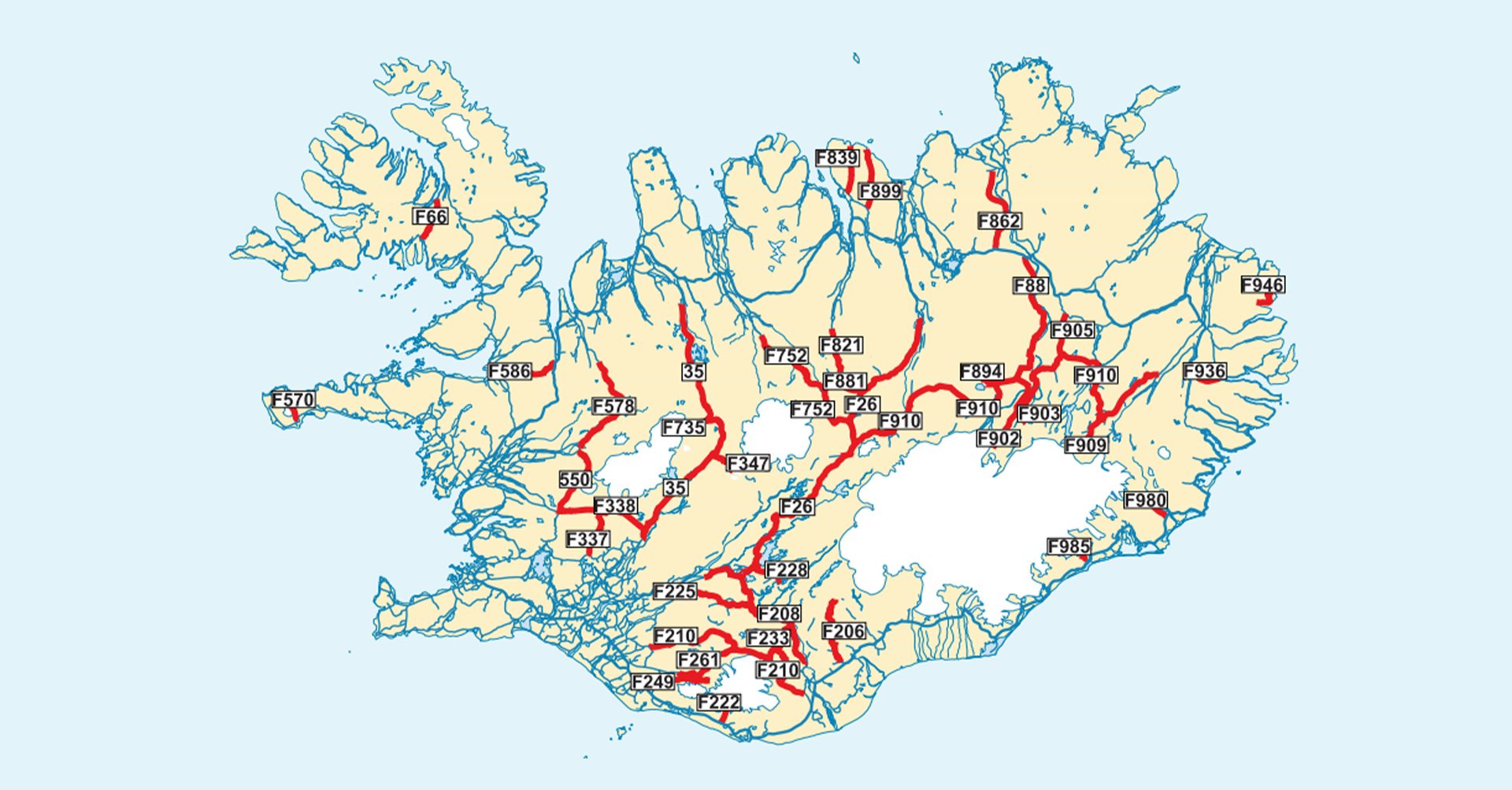
F-roads can seem overwhelming when building your road trip itinerary throughout Iceland. But, there are so many bucket list locations nestled in Iceland’s untouched lands. We have compiled a list of all of Iceland’s F-Roads and their current conditions. That way you can build your perfect adventure while feeling prepared and not overwhelmed. Each F-road brings you through vast landscapes or massive mountain passes. We also threw in some offroading favorites that are great for practice.
What is an F-road?
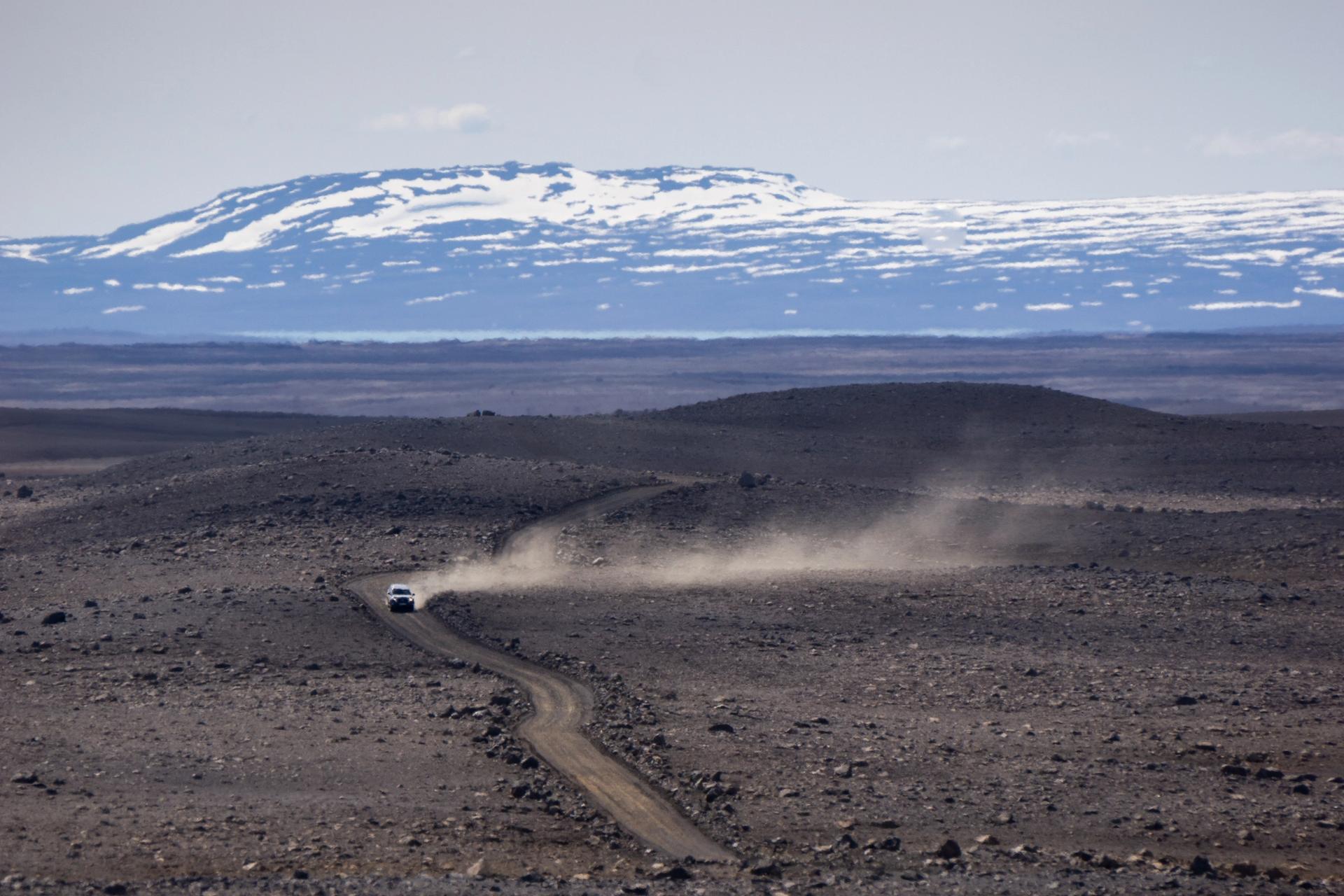
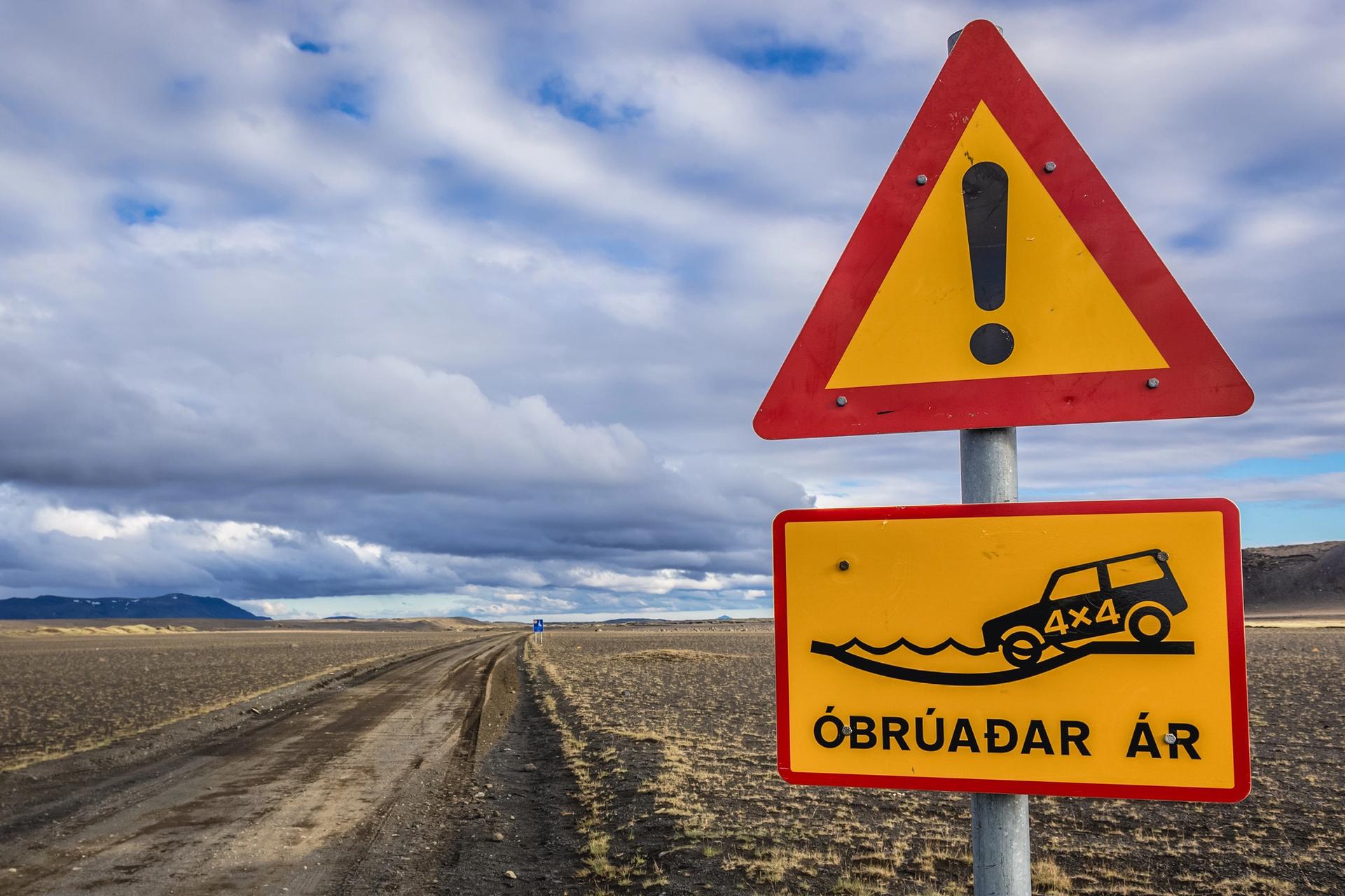
Let’s start with the basics. Simply put, an F-Road is a mountain road that is normally on dirt or gravel tracks. The “F” in F-Road comes from the word "Fjall", which means mountain in Icelandic. They are only normally open during the summer months due to the mountainous terrain. When the snow begins to fall, most of the roads become inaccessible. It is illegal to drive an F-Road with a 2WD vehicle, making 4x4 cars a must when visiting Iceland.
New to F-Roads? We got you covered.
Read all about them in our Guide To F-Roads In Iceland for Beginners before choosing the one you want to tackle during your next trip to Iceland.
List of Every F-road in Iceland
F26 – Sprengisandsleið
This is the longest F-Road in Iceland as it brings you from Sprengisandur or Sprengisandsleið. It is known to connect you from South Iceland to North Iceland while bringing you throughout the highlands on its 155-mile or 250-km road. The road is rated as easy to drive but we are marking it as moderate due to crossing the Hagakvisla river. The road is also very remote, so make sure you have enough gas and supplies in case anything were to happen.
F35 – Kjalvegur
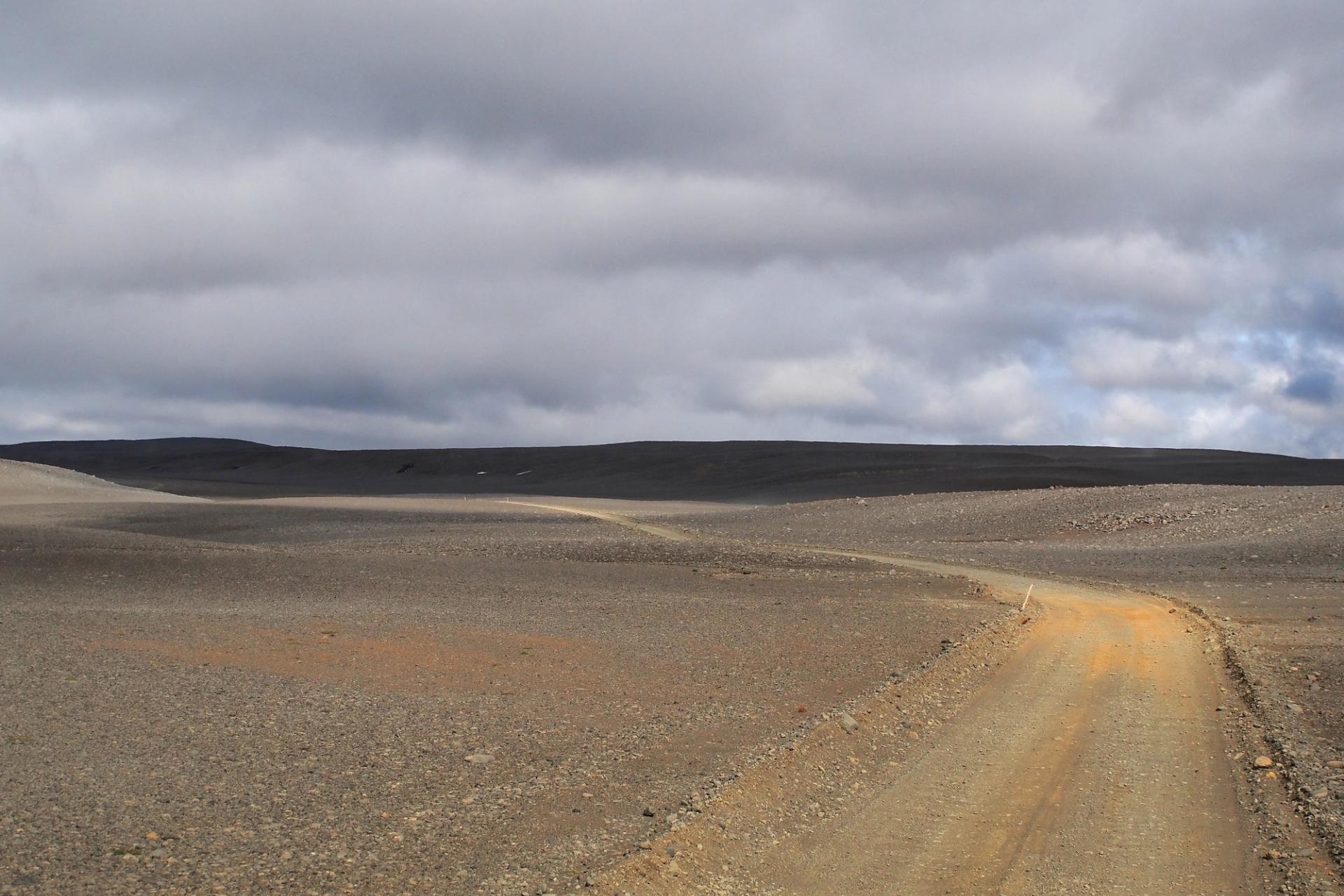
Next up is F35 which is the second-largest road in Iceland. It brings you along a similar route to F26, from Southern Iceland to Northern Iceland. This road is rated easier than F26 which is a great option for those newer to F-Roads. There are no river crossings on this 110-mile or 180-km road. However, it is also located in a very remote area so be prepared before heading out. It was recently classified as just road 35 thanks to road improvements, but Google still has it as an F-Road.
F66 –Kollafjarðarheiði
Kollafjarðarheiði is located between Kollafjörður bay, in the South, and Ísafjörður bay in the North of the Westfjords. It is the only road that brings across the central area of the Westfjords. The road takes about three hours to drive and is 15 miles or 25 km long. Expect big rocks and a small river crossing. This road is rated medium due to its steepness and it is known to be one of the mountainous roads in Iceland. Long story short, it is not recommended for the faint of heart.
F88 – Öskjuleið
If you are looking to visit Askja, chances are you will be taking F88, it is the shortest and fastest way to reach it. Despite rumors, F88 is relatively easy to drive despite the one river crossing. You only want to pass it when the river is normal-sized. If you try after heavy rainfall you could be in a life-threatening situation, so check the levels before passing over. If you are comfortable with crossing ordinary rivers, F88 will not be a problem for you during normal conditions. The road is the primary route to the tourist hotspots of Herðubreið and Hrossaborg.
F206 – Lakavegur
If you are seeking the Laki Craters then get ready to take on F206, which is known to be a very rough road. In addition to the gravel and potholes, you will also be crossing a medium-sized river during your journey if you continue onto F207. Which we will talk about in a moment. The condition of the road is what marks it as difficult, but it is doable if you have experience with F-Roads.
F207 – Lakagigavegur
This is another option to get to the Laki Craters and do the full loop near them. It actually connects from F206 and is the second part of your journey. There is a medium-sized river crossing which is why it gets the difficult rating. It is known that people have completely sunk their cars in the river when it is above water levels. You also need to keep in mind you are a very isolated part of Iceland out there, so taking any chances crossing it could end terribly. It is doable when the water levels are normal and on drier days.
F208 - Fjallabaksleið Nyrðri
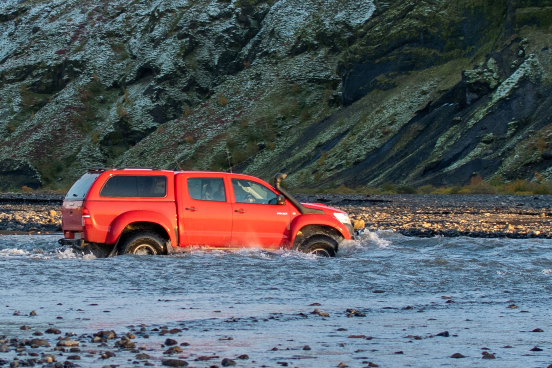
F208 is two roads, classified as North and South, that connect Vik to the southern part of F26. Both roads are long with one being a bit easier than the other. F208 North is the easier of the two but is known to have lesser views. However, you can have peace of mind knowing that there are no river crossings on F208 North.
If you want insanely gorgeous scenery then take F208 South. But do know there are three river crossings rated from small to medium sizes. If you are not comfortable or experienced with river crossings, avoid F208 South.
F210 – Fjallabaksleið Syðri
Chances are if you are trying to visit Maelifell mountain you will find yourself traveling along F210. This road is known to be very isolated and you will not see many cars, if any, on this route. This is also why the road is not super popular. It will bring you between Thorsmork and Landmannalaugar, from the west to the east. This road is not easy to drive and has a few river crossings ranging from small to medium. There is a large river by Mælifell that has been known to have a rocky bottom that has even caused cars to get stuck. For that reason alone, we are rating this road difficult.
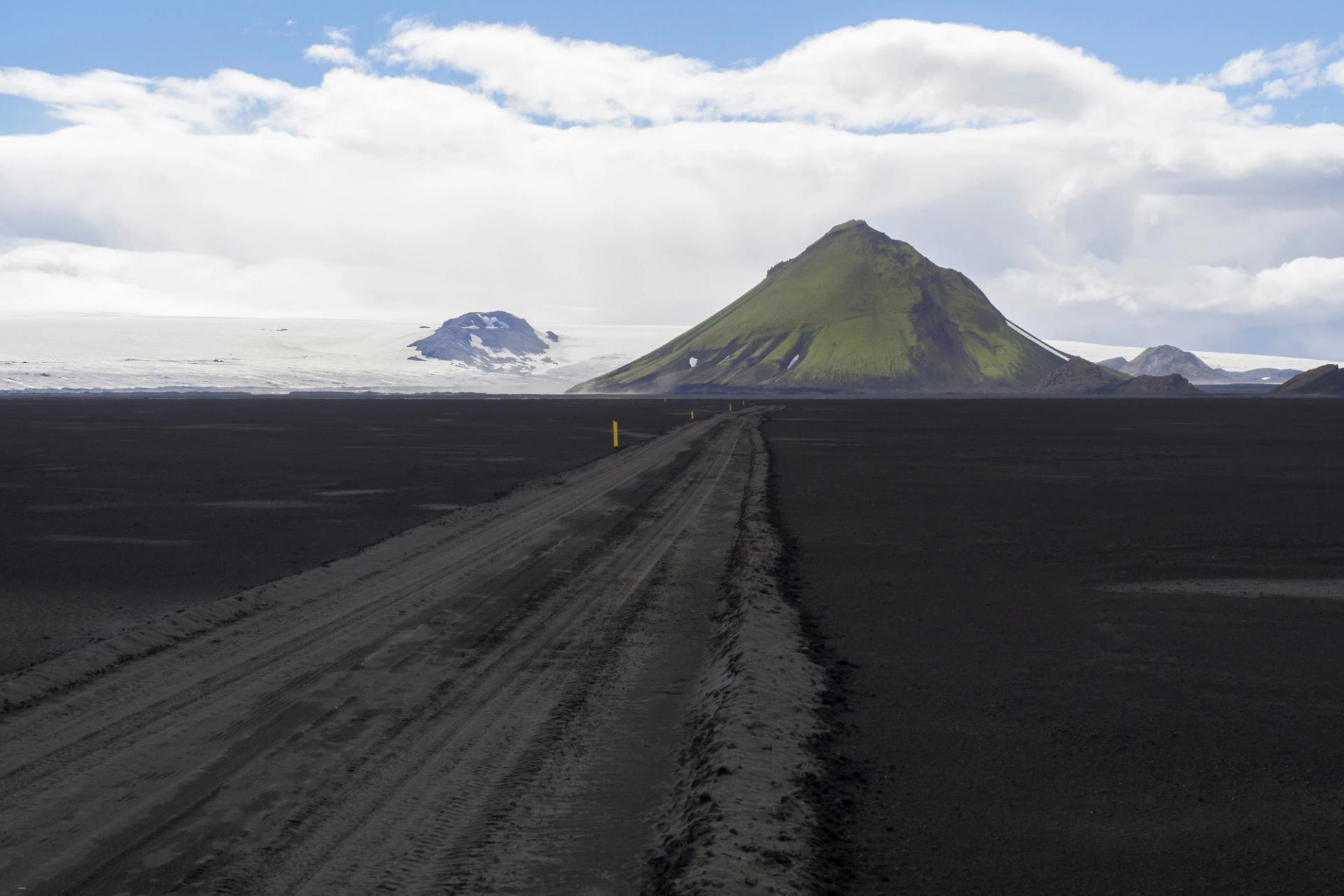
We are happy to talk about an easier F-Road, F223. This road brings you to the road to Eldgjá and is known to be relatively easy. There are no river crossings and the road itself is pretty well maintained. You can expect gravel but no large boulders.
F224 – Landmannalaugavegur
A popular F-Road where you will see a lot of other travelers is F224. This is the last stretch to reach the Landmannalaugavegur area. The road is known to be bumpy with some pretty large potholes. In addition to this, there are two medium-sized river crossings at the end of the road. Luckily you can park before the river crossings at the parking lot with a ten-minute walk to Brennisteinsalda campsite.
F225 – Landmannaleið
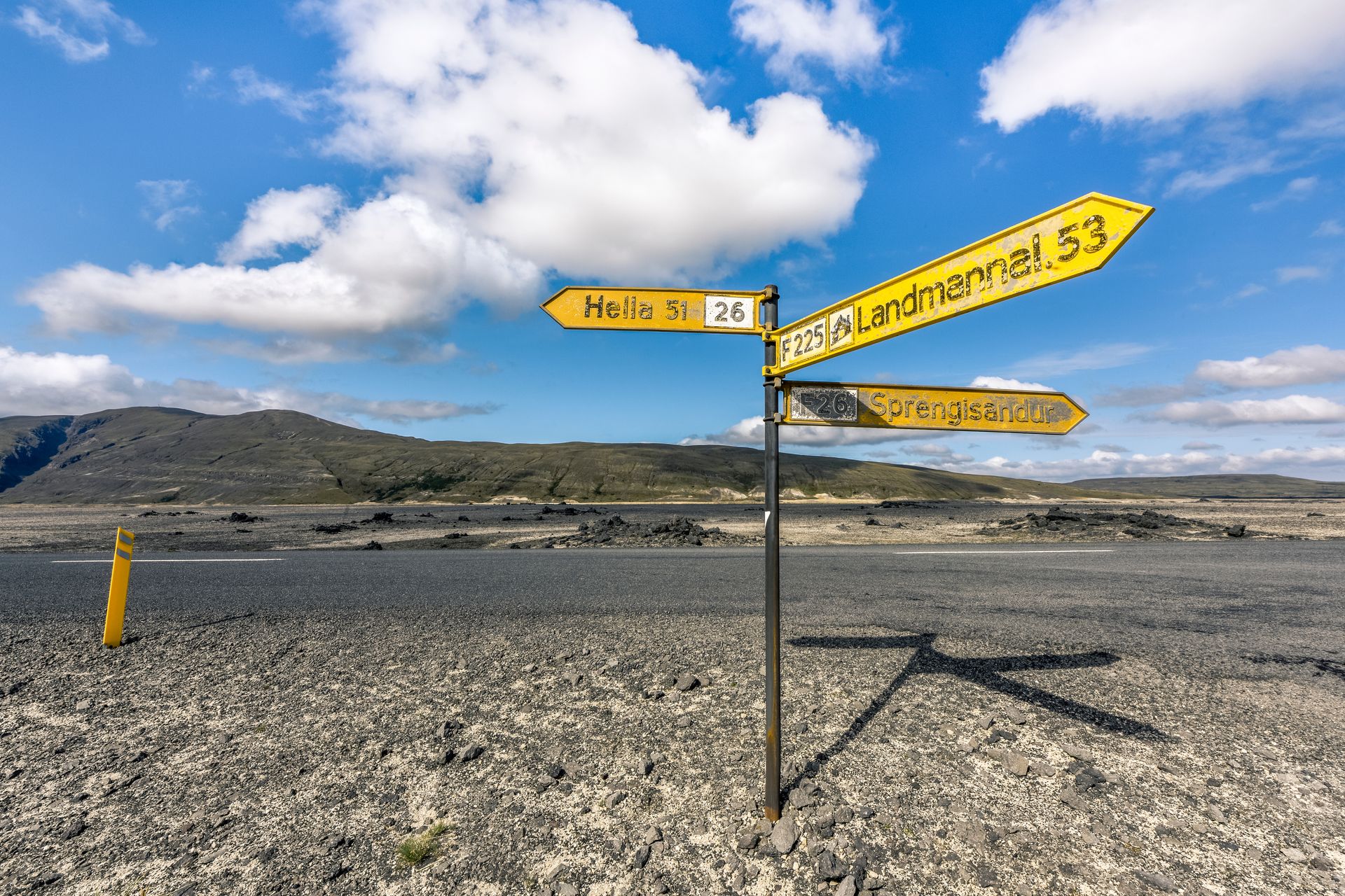
Staying in the Landmannalaugavegur area is F225. This is known to be a shortcut from Road 26 to Landmannalaugavegur. It is about 12 miles or 20 km shorter than the other route from the North, which is normally road F26 to F208. It is also rated harder as there are a few different small river crossings that are normally okay to do. These rivers can grow quickly in size if there is rain in the forecast.
F228 – Veiðivatnaleið
F228 is a dirt road in Southern Iceland with two rivers you will need to cross. One of the crossings is known to be deep, thanks to it being in the curve of the river. There are Veiðivotn, or fish lakes, in the area, which means you will see fishermen out here. Other than that there are a lot of great stops off for hiking
F229 – Jökulheimaleið
If you are heading to the Jökulheimar area, chances are you will find yourself on F229. Which is just west of Tungnaájökul glacier. There are many connecting roads to F229 which include dirt roads. However, these roads are known to be very dangerous. Which is why F229 tends to be the safest option. There are no river crossings on this road either.
F232 – Öldufellsleið
F232 is a famous road due to Öldufellsleið, a beautiful mountain at the southeast entrance to the Icelandic central highlands. F232 connects you to F210. The waterfall Bláfjallafoss sits here and is one of the most photographed car pictures in Iceland. As it does show the car pretty much driving over the waterfall.
F233 – Álftavatnskrókur
F233 is a shortcut you can take from F210 to F208 south. This is an ideal F-road for those who want to visit Maelifell before heading over to Landmannalaugar. F233 does have one pretty difficult river crossing. It is recommended to have experience with other river crossings before attempting this one. However it is doable, just check the conditions in advance.
F235 – Langisjór
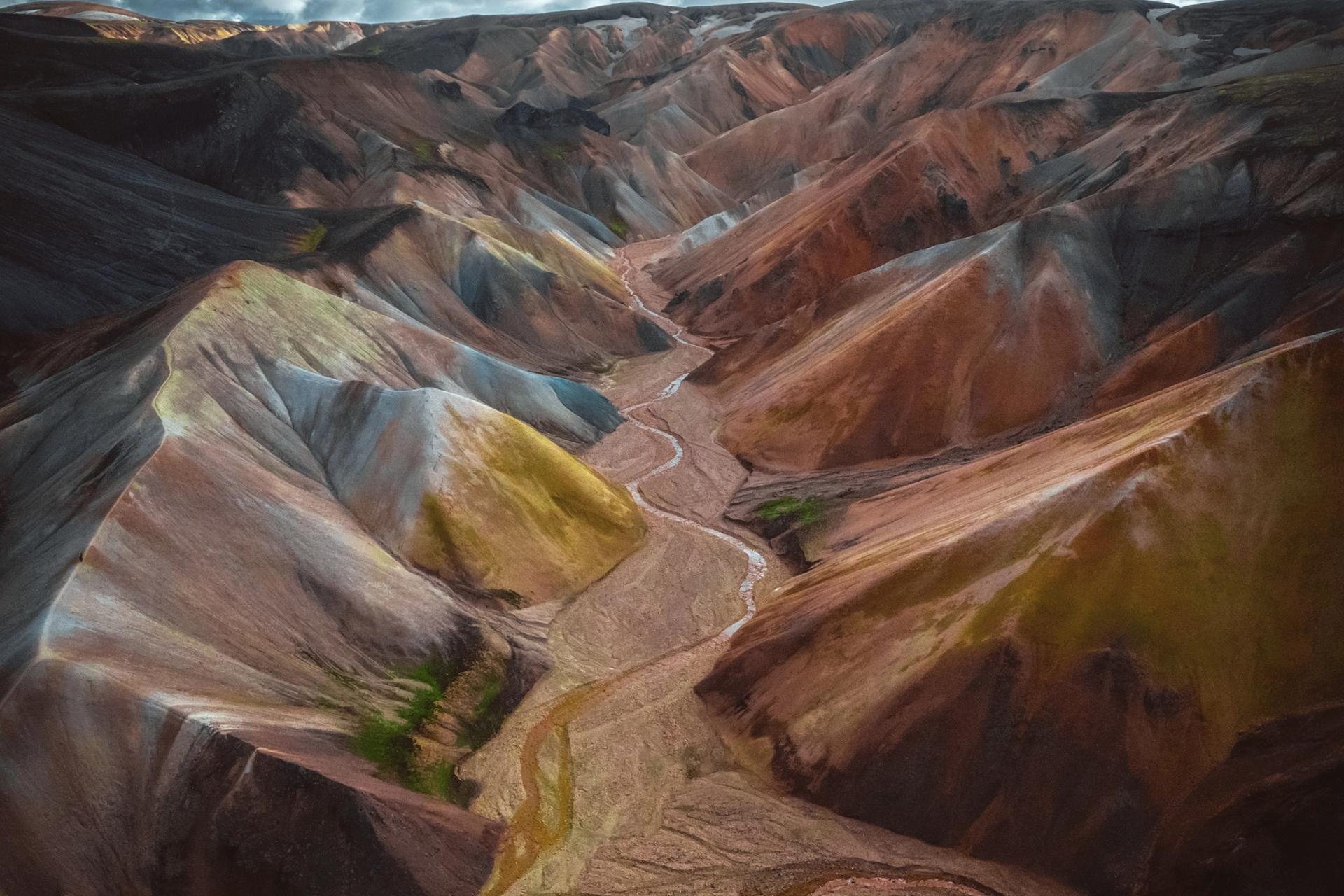
F235 will take you to Langisjor lake and Sveinstindur mountain, which is a spectacular area. This road is a one-way detour from F208 south which will bring you out toward this space-like landscape. The road is not too difficult and it is a great way to practice driving F-roads before doing one too intensely.
F249 – Þórsmerkurvegur
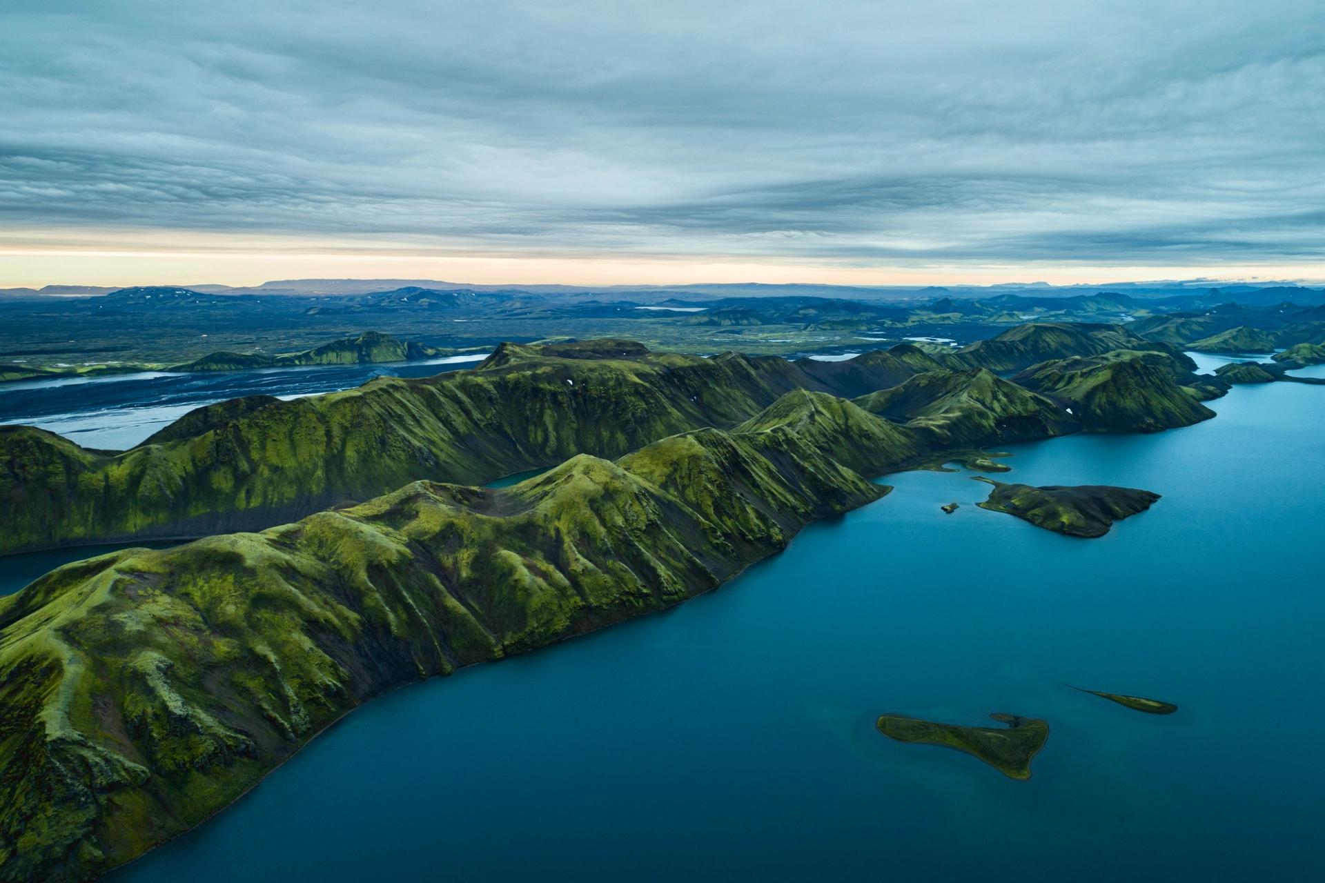
Avoid this F-road at all costs if you can. It is a famous road for tourists getting stuck and sinking their rental cars. In contrast, it is a beautiful road and one of the only two roads that bring you to the mountainous area of Thorsmork. It is still possible to get there if you have the proper vehicle, experience, and weather on your side. If you don’t want to risk it, you can always take a tour to visit Thorsmork, which is more popular.
F261 – Emstruleið
F261 is another way to get to the Northern Side of Thorsmork Valley. The road does connect you to the eastern part of F210. There is one main river crossing here which brings you through the Bláfjallakvisl river. It is usually a medium-sized river crossing that can become a bigger one when it rains a lot. Do not attempt after heavy rainfall. Other than that, the road is a fun F-road to drive along.
F333 – Haukadalsvegur
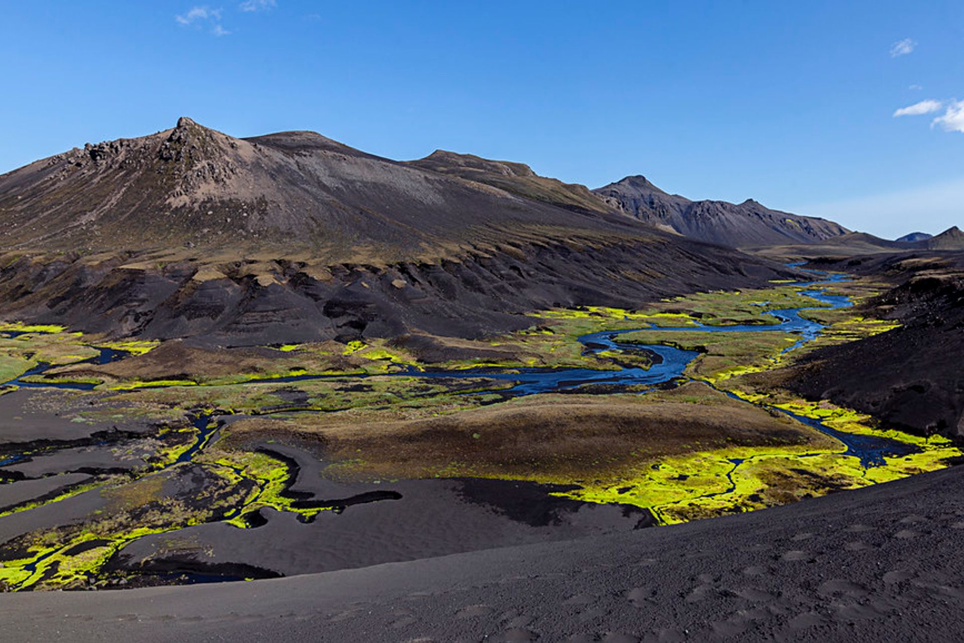
F333 starts next to the Geysir Thermal Area and eventually ends at F338. The road is unpaved and known to be rough, but it does not have a crazy river. You can expect a bumpy route with potholes and big rocks. But after you get through that part you drive through a forest, which is exceptionally pretty.
F337 – Hlöðuvallavegur
This F-road starts south from F338 where you will stay to the right by the mountain. The road is flat but does have very large boulders that can fall from the mountain. Stay on this road until you stay right towards Thingvellir. From here the road goes through the sand to a mountain range. The road eventually reaches a dry riverbed that does have very large stones. But once you get over that you will find yourself at the top of the mountain. Enjoy the views of lake Apavatn before heading down the steep mountain.
F347 – Kerlingarfjallavegur
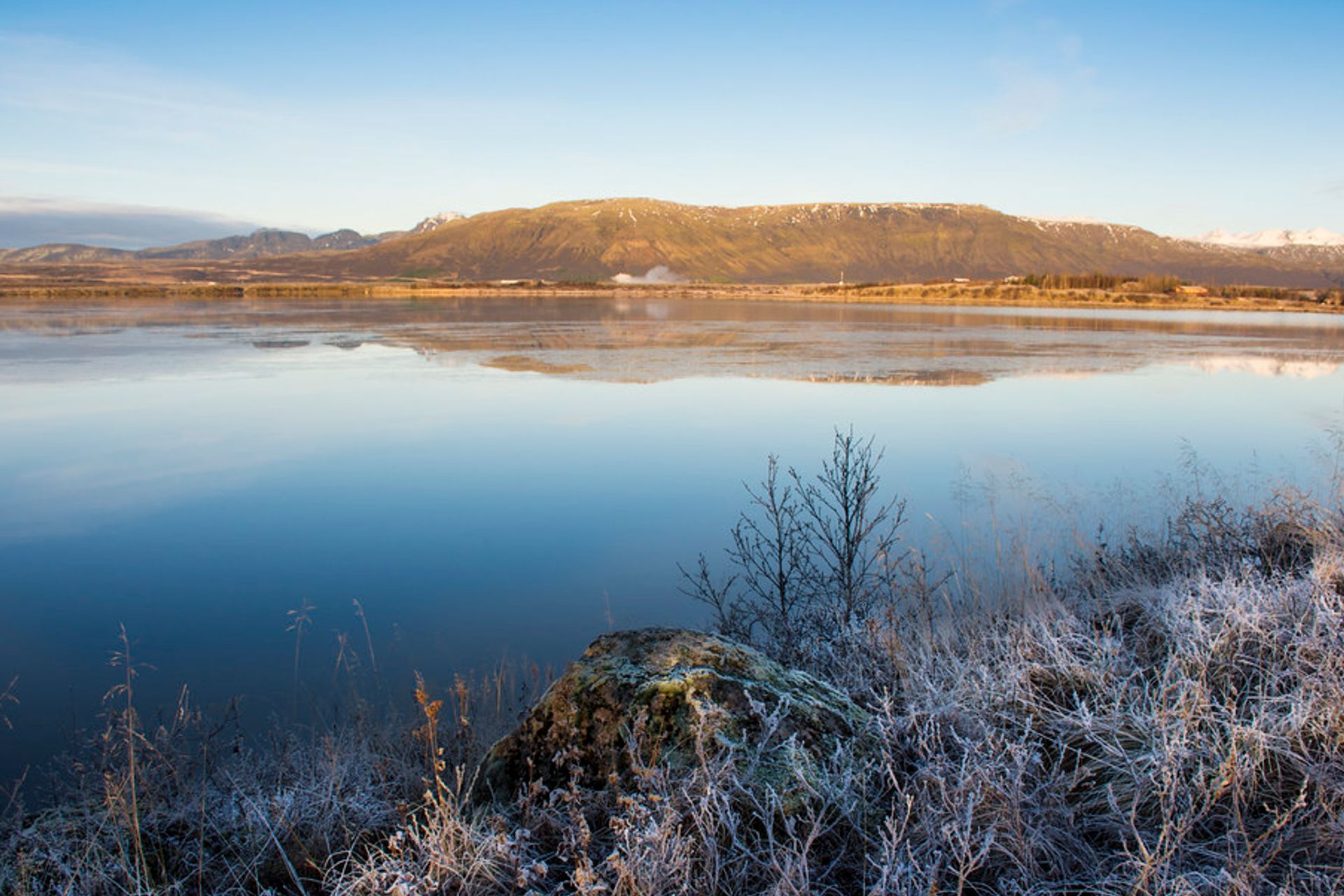
F347 is a detour from F35 and is the only road leading directly to the infamous Kerlingarfjoll area. The road starts as a gravel road with potholes until you reach the Kerlingarfjoll mountain resort. From there the road does become more difficult due to rough terrain and steepness. There is no river crossing along the route, but it should only be taken on by experienced off roaders. If the road seems like too much, you can go up to Kerlingarfjoll mountain resort and stop there.
F349 – Kerlingarfjöll (Old Route)
This is an alternative road to Kerlingarfjöll that is known for its remoteness and length. It is not really driven much anymore but you can still drive it if needed. We recommend not taking it as there are not many other cars on the road. If something were to happen, you would be stranded until someone else comes along. The road itself is not very dangerous, except for the remote factor and a small river crossing.
F508 – Skorradalshreppur
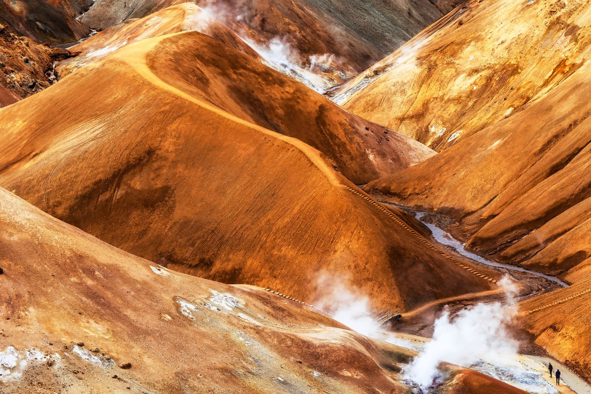
This bumpy and very rocky road has steep hills but no river crossings. It takes you from Borgarfjarðarbraut to Skorradalsvegur. There is not much to marvel at along this route except for a small waterfall. The waterfall is next to a very steep section of the drive that can be considered dangerous. Most people drive this road to get to the waterfall but then turn around after.
F570 – Snæfellsnes - Jökulshálsvegur
Jökulshálsvegur will take you between Ólafsvík and Arnarstapi, north and south of the Snæfellsnes peninsula. It is also the closest road to the Snæfellsjökull glacier. The road takes two hours to drive and is 11 miles or 18 km long. It is known for its steepness but you will see a lot of Jeep Tours along this route. The road has been reclassified as 570 over the past few years thanks to road improvements. There are no river crossings along this route.
F575 – Snæfellsnes - Eysteinsdalsleið
Eysteinsdalsleið is an old gravel road that brings you from Utnesvegur to Eyvindarholar Lava Cave and into Snæfellsjökull National Park behind Snæfellsjökull. It is the only road that remains in Snæfellsnes. This road is very remote and not talked about often. Therefore the time and distance are unknown. Drive with extreme caution.
F578 – Western Highlands - Arnarvatnsvegur
F578 brings you from the area of Miðfjarðarvegur to Borgarbyggð. This road has a dangerous passage with deep river crossings and it is recommended not to use it at all. Reports have said it is a very slippery and muddy mess. It normally lands a spot on the list of forbidden roads in Iceland, even for 4X4 vehicles. If you do ever get to drive it, you can expect views of Langjökull and EiríksJökull along your route.

F586 – Haukadalsskarðsvegur
Haukadalsskarðsvegur will take you between Haukadalsvegur in Snæfellsnes and Staður in the North West. The road takes four hours to drive and is 21 miles or 35 km long and is rated as moderate difficulty. . This road is known for its potholes and remote location. It is also said to be very steep on both sides. There is a river crossing but it is known to be smaller. The biggest attraction of Haukadalur is Eiriksstaðir, which is a replica of a Viking house.
F649 – Ófeigsfjarðarvegur
Head from Strandavegur over a mountain towards the Ingólfsfjörður fjord. You will then head down the mountain towards the village of Eyri. After this, the road conditions get worse and become bumpier. You will take this road until you reach the Húsá river. The river crossing is doable but can be dangerous after heavy rain. The road itself is very isolated but it's nice to take on, especially if you want to visit Eyri.
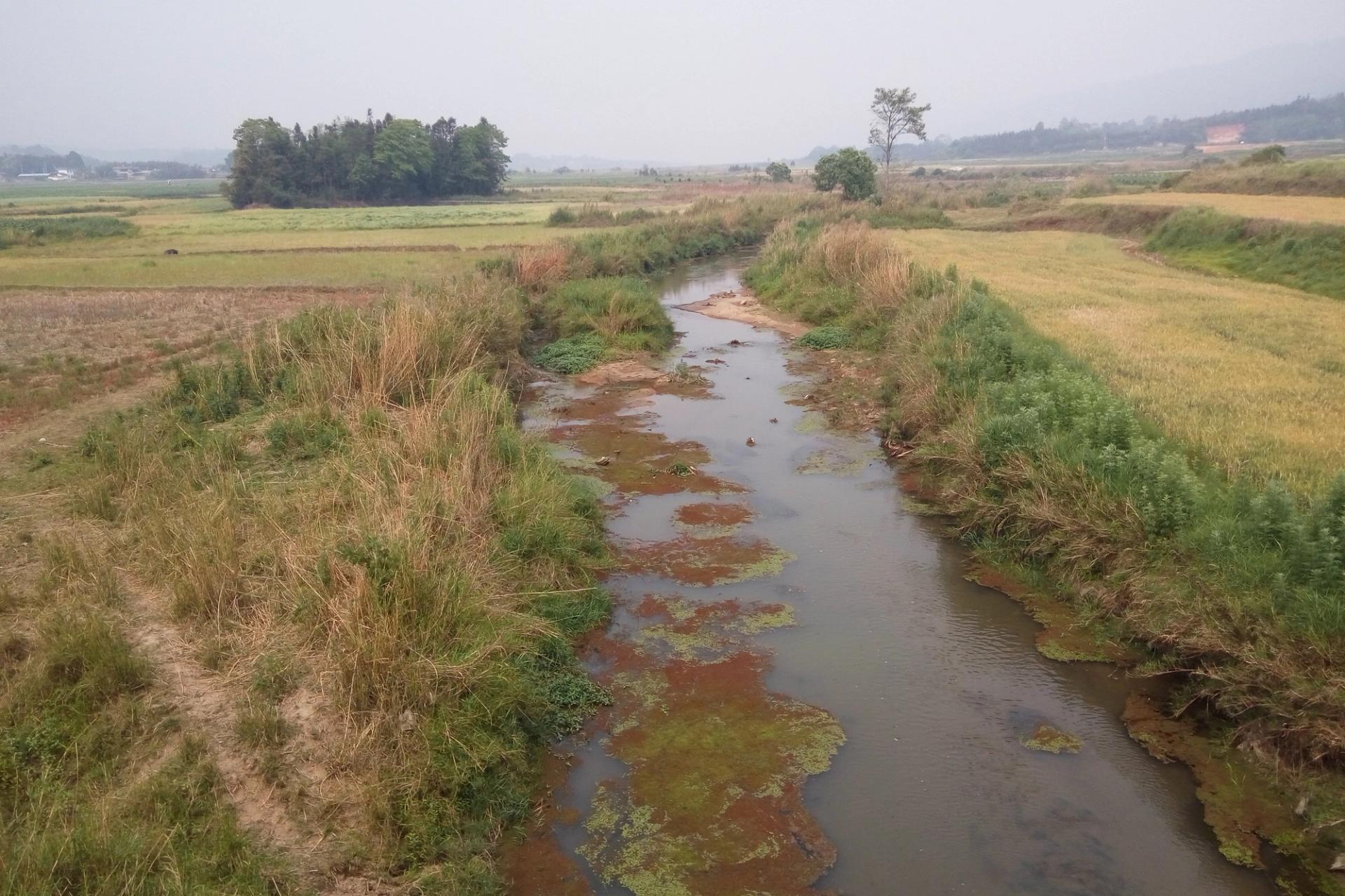
F734 – Svörtutungur (Old Kjölur)
This is an alternate route to Kjölur or Road 35. The road is rated completely dangerous and is known to be uninhabited. This means the road is never taken care of and is rough. There are also two large river crossings, Svartakvisl and Blandá. It is best to avoid this road and just take Road 35 instead to reach Kjölur
F735 – Þjófadalavegur
Þjófadalavegur runs between Hveradallir to Þjófadalir. It’s one of the famous F Roads in the country. The drive combines strong stony slopes, broken sections, and big rocks. There is one river crossing that is usually shallow, but it is important to check the depth. The views along this route are beautiful and take you past mountains, glaciers, and rivers. At Hveradallir there are some facilities including a café and parking.

F752 – Skagafjarðarleið
F752 is one of the three roads from the north to the Sprengisandur. It is known for its difficult river crossing, Hnjúkskvísl. There are other river crossings you will need to take on, but they are known to be easier to get over. You will get views of the Hofsjökull glacier in addition to a beautiful green river valley between mountains. The road falls into the lonely category as many do travel out this way. If you do drive it, be mindful of that and the multiple river crossings.
F821 – Eyjafjarðarleið
Drive F821 in Northern Iceland. The road starts from Hólsgerði farm and continues south to Laugafell mountain hut. There are potholes and large rocks here, rating the road as rough. There are no rivers you need to cross though, just a few small streams. The road is narrow at times but ends at Laugafell mountain hut and the natural hot spring makes the trek worth it.
F839 – Leirdalsheiðarvegur
F839 is one of the two roads in the Northern Highlands that will bring you to the ocean near Flatey island and Eyjafjörður. The 45-minute drive is known for its surrounding beauty with ocean views. The road is relatively good except for a few small river crossings. You will find a lot of fishermen in this area that you will see at the nearby lakes.
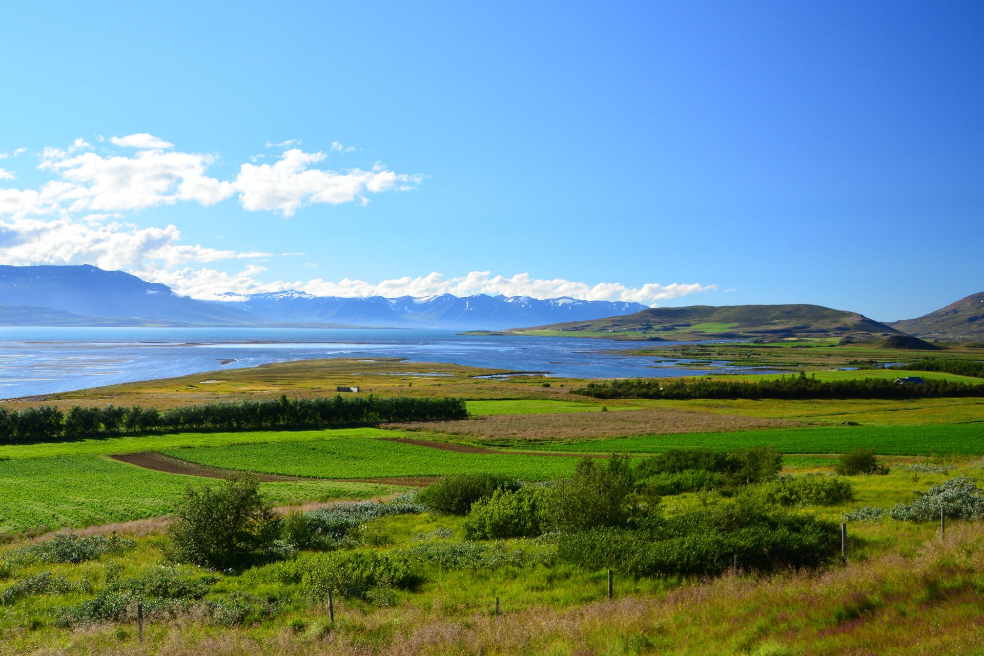
F843 – Dyngjufjöll
This remote F-road will bring you west of the Dyngjufjöll mountains. But, chances are you won’t be driving it because it is deserted. It is known to be extremely rough and not maintained either. There are a bunch of steep areas as well as a few river crossings. While all of that is possible to cross, the remoteness of the area is what makes it so dangerous. Avoid it if you can.
F881 – Dragaleið
Another F-road in the Highlands is F881. It connects you from F26 and F821. The road is only 11 miles long and it is said to make you feel like you are visiting another world. The 28-minute drive is not rated as dangerous and is doable for most offroaders. Enjoy the views!
F894 – Öskjuvatnsvegur
F894 is the final section of the F905 and F910 roads that bring you to the Askja area and the Viti crater. The road is not dangerous but is rough and extremely bumpy. Be prepared to go very slow and be shaking the whole time. However, there are no river crossings or super steep sections to worry about. Just the shakiness is the biggest complaint here.
F899 – Flateyjardalsvegur
F899 is the other road that brings you to the ocean in the Northern Highlands. next to Flatey Island and Eyjafjörður. F839 is the other option. There are a few river crossings, one is known to be medium while the other is large. They are both safe to cross unless heavy rain hit the area recently. This road is different from F839 because there is no steep climb in the beginning and there is less to look at along the route. Either choice is fine to attempt as both will bring you to the vast ocean at the end of the drive.
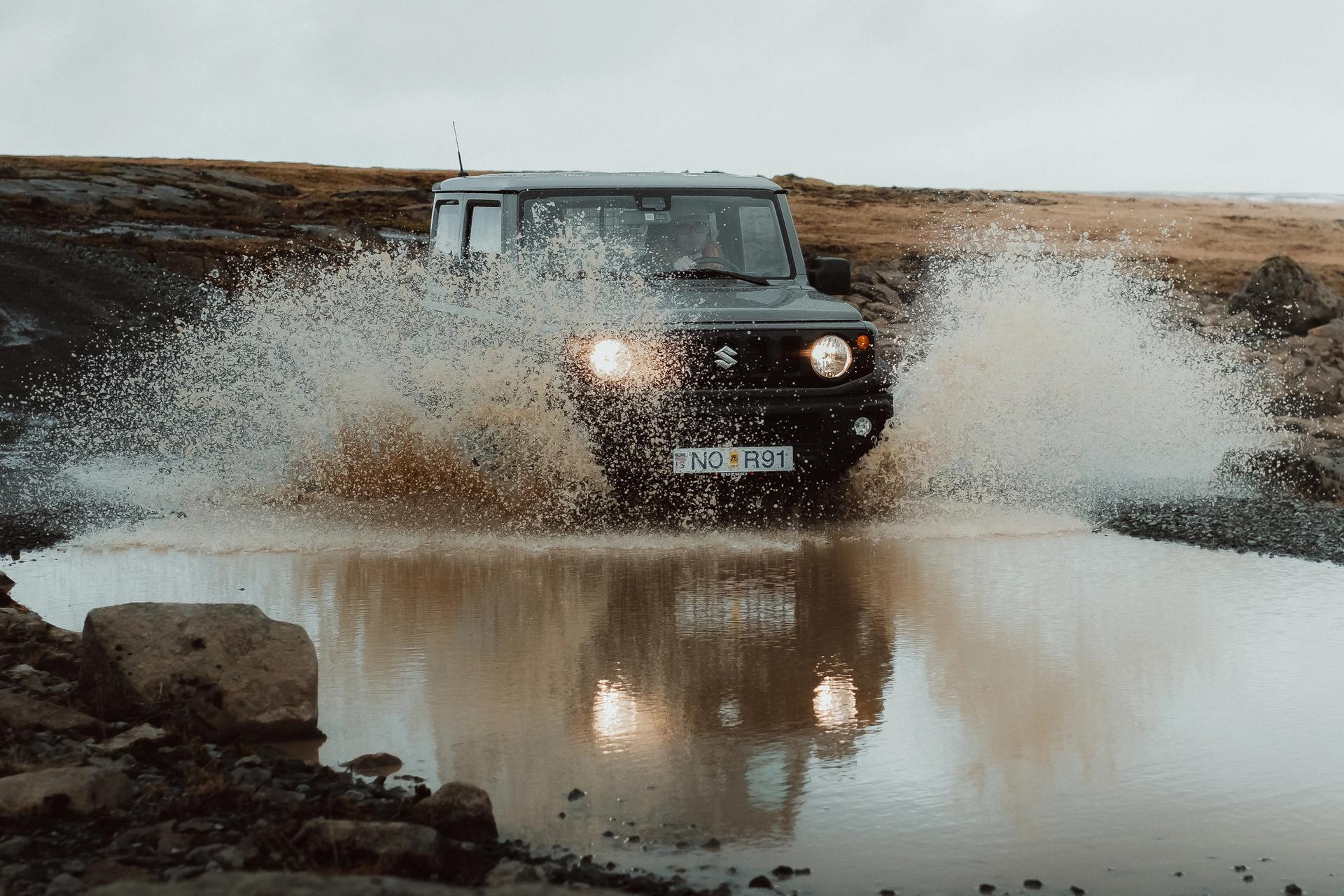
F902 – Kverkfjallaleið
This F-road will bring you to Kverkfjöll, which is a relaxing hot spring area that sits on top of the glacier. While this sounds amazing, it is very hard to get to. The road itself is very sandy and bumpy. Once you do get to the end, you will need to hike up a glacier. It is recommended to visit this area with a tour so you have a guide to bring you to the spring area.
F903 – Hvannalindavegur
F903 is known to be a sandy road compared to other roads in the Highlands. You will experience rocky areas as well as multiple river crossings over the Lindaá river and Hvannalindir. The road is not rated as dangerous but it is difficult.
F905 – Arnardalsleið
F905 will bring you to the sought-after Askja area. It is the favorite out of the three roads that bring you there, the other being F88 & F910. F905 is a once-in-a-lifetime experience that brings you through some of Iceland's majestic landscapes. But the payout does come with a price. You can expect gravel, rocks, sand, boulders, and more. There are no river crossings along the route though. F905 is one of the offroaders' favorite roads to drive in Iceland.
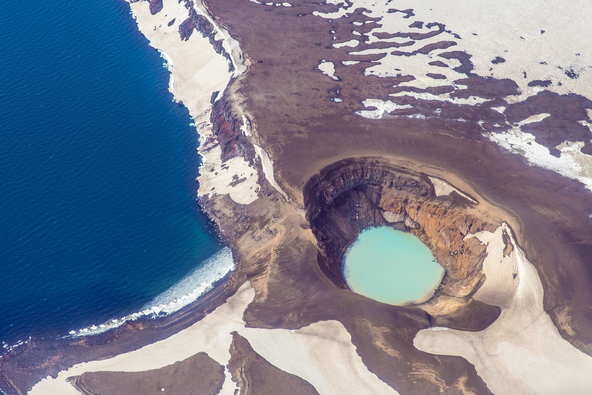
F907 - Modrudalsleid
This road F907 connects Modrudalsleid in the north with Austurleid and Jokuldalsvegur in the south. It was originally an F-road and is still referred to by some, but since improvements, it is also known as 907. There is a small pond to cross along the road and is not rated as rough, thanks to its upkeep over the past few years.
F909 – Snæfellsleið
Take the 1-hour drive from the North to the South of the Snæfellsleið area. There will be a few small river crossings but nothing to worry about. The road is known to be easy to drive on and you will even see climbs along the way. The road can get bumpy after you pass the cabins and continue to the Brúarjökull glacier. The whole area is known for remote day hiking and gorgeous views.
F910 – Austurleið – Eastern Route
F910 belongs to the trio of F88 & F910, the F-roads that bring you to Askja. F910 connects both F905 and F88. But F910 is hands down the most famous road out of the three. If you are planning a trip to view Askja this will be the most visited road out of the trio. The drive is not easy, it is long and in a remote area. But, it is doable and one of the prettiest drives in the country. There are two medium river crossings along the route.
F910 – Dyngjufjallaleið – Western Route
This is the same road but this is the western route, which brings you towards Dyngjufjallaleið. This road is simply not driven often by visitors or locals. It brings you out in the middle of nowhere. If you are taking the eastern route, just make sure you are going the right way. This western route is rough, dangerous, and straight up in the middle of nowhere.
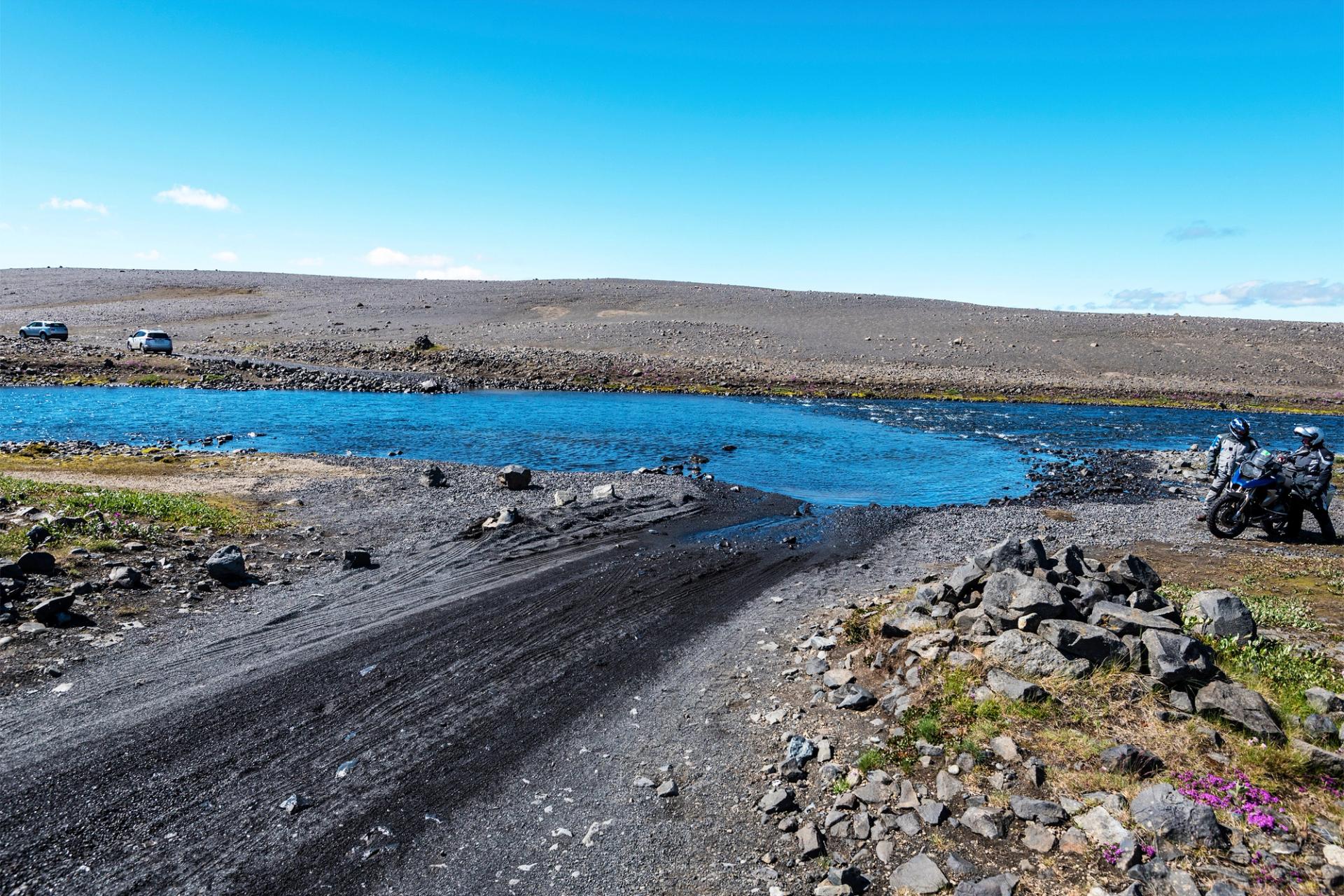
F923 – Jökuldalsvegur
F923 has a wide river that you will need to cross in addition to another river. These are both factors on why the road is less traveling. It is not extremely rough but you won’t find a lot of cars out here. Just be mindful before heading onto this F-road.
F936 – Þórdalsheiðarvegur
Road F936 in Þórdalsheiðarvegur is a kind of shortcut from Fjarðabyggð in the east to road 95 in the west. Is a great route for those who want to practice driving an F-road. It is rated as rough but not impassable by any means. There are no river crossings, which is nice, but there are some narrow and steep sections once you reach the mountainous area.
F946 – Loðmundarfjarðarvegur
Travel along the remote road in Eastfjord, F946. It will bring you to the Loðmundarfjörður mountain hut. Even though it is remote, it is a nice F-road to take to view the less traveled area of the Eastfjords. There are no river crossings here but there are narrow roads and steep drop-offs, not for the faint of heart.
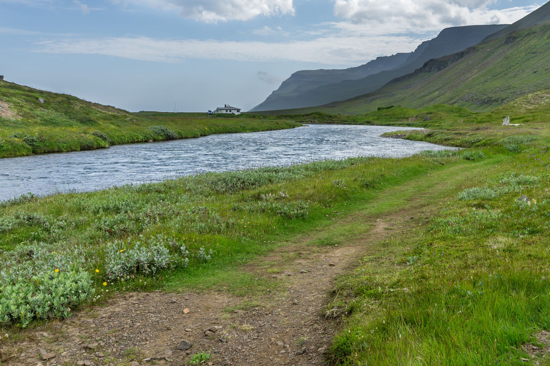
F959 – Viðfjarðarvegur
Also located in the Eastfjords is F959. This road brings you to the isolated Viðfjörður fjord. The area is known for its remoteness and loneliness. It is rarely driven, meaning you will most likely be out there on your own. There are no river crossings but very steep sections are common. You can expect bumpy terrain.
F980 – Kollumúlavegur
Explore the Kollumúli Mountain Cabin in the Lónsöræfi Highlands by taking F980. While many would love to visit here, it is very hard to get to. Thanks to the treacherous river crossings over the Skyndidalsá river. However, you can drive up to the river and turn around if you want to get out on the road. If crossing the river is on your list, you would need a super jeep to even make it over. Visitors have sunk their cars here before.
F985 – Jökulvegur
F985 brings you to Skálafellsjökull glacier which is a part of Vatnajökull. It is a popular road used to access the glacier. You will see a lot of tour companies here with super jeeps or snowmobiles. The road is known for its endless amount of switchbacks and steep terrain. It is not recommended for those afraid of heights by any means. There are no river crossings on this road but there are dangerous drop-offs on the mountain pass section.
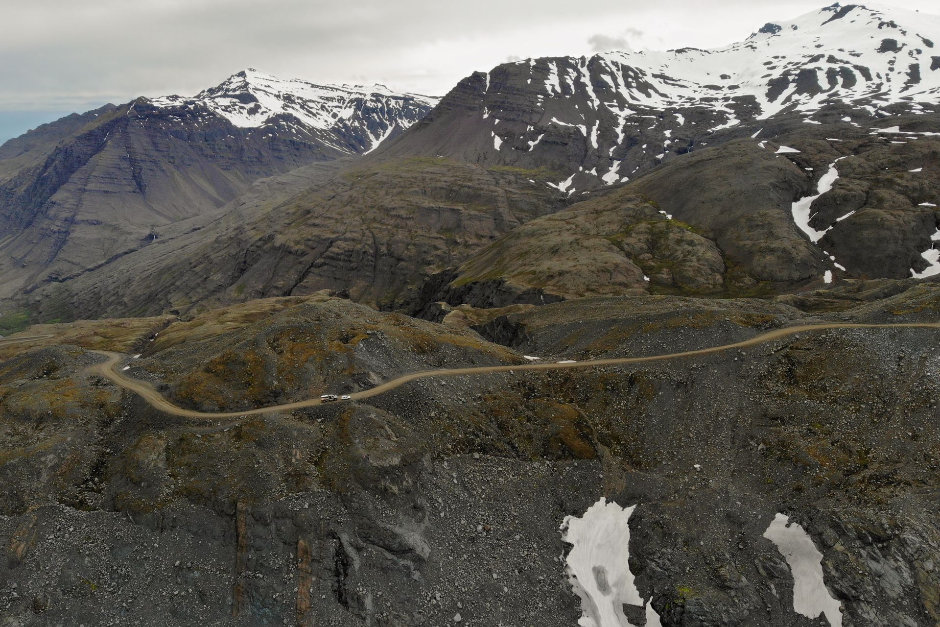
Other Popular Off-Roading Routes
These are not classified as F-Roads but they are some other unpaved roads you need to be aware of when visiting.
558 – Berserkjahraunsvegur
Located on the Snæfellsnes peninsula in Western Iceland is road 558. The twisty road is unpaved and will bring you through a lava field. It is 6.8 miles or 10.6 kilometers long but is famous for its surrounding landscape. There are some bumpy sections but this road can truly be done by anyone.
612 – Örlygshafnarvegur
If you want to visit the westernmost part of Iceland then take Road 612 to the Látrabjarg Cliffs. It is one of the most driven routes in the western part of the country thanks to its easily navigable roads, you can technically reach it with a 2WD vehicle. But 4WD is recommended because it is not a paved road.
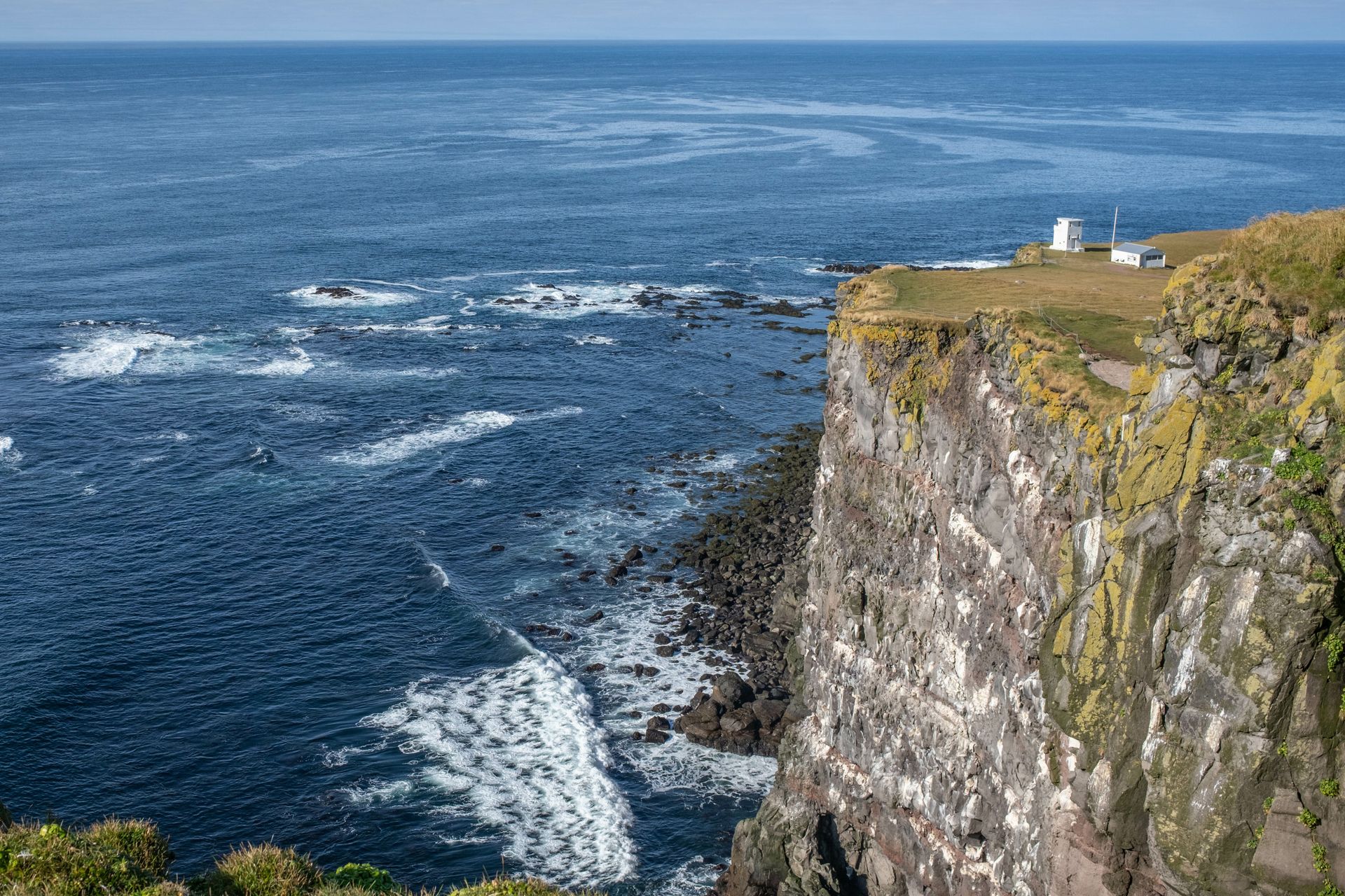
622 – Svalvogavegur
The first part of 622 is paved and can be driven by any vehicle. But you will reach a sign that says 4x4 vehicles only and they do mean that. The road goes from paved to narrow and steep. It is only wide enough for one vehicle at a time with a drop-off on one side. You are pretty much driving where waves can crash, so following the weather is important here. It is an amazing driver but it is rated as dangerous. Only experienced off roaders should try this and be aware of potential dangers.
624 – Ingjaldssandsvegur
Located in the Westfjords is mountain road 624. You will leave from highway 60 in Vestfjarðavegur and continue over a mountain pass, ending in Ingjaldssandur valley. It is a high-elevation road that is only open during the summer months. The road is known to be in good condition but does have some steep drop-offs along the way.
630 – Skálavíkurvegur
Road 630 is located near the Bolafjall mountain, which makes the views outstanding. This road is closed during the winter due to high elevation and snowfall. If you chose to drive it in the summer you can, as it is known to be taken care of pretty well. Weather is what you need to watch out for here, fog and cloudiness are normal from time to time.
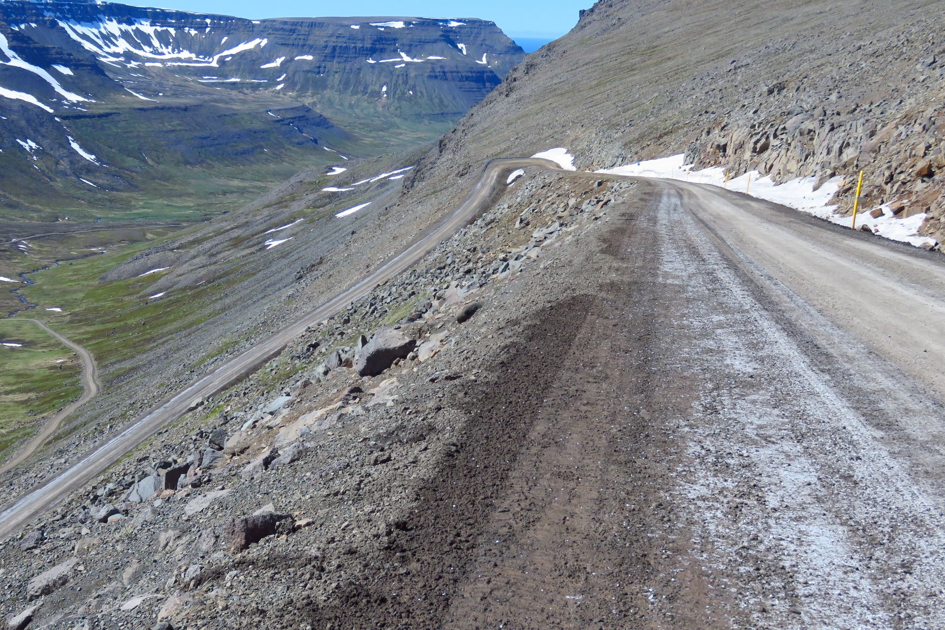
635 – Snæfjallastrandarvegur
635 is unpaved but is known to be easy to drive in the summer months. There is plenty to see along this route that follows the water, including a cafe, church, and more! It is a nice drive to take if you want to explore the Westfjords in a safer manner. It is a pretty road to drive for beginners looking to eventually take on F-roads.
643 – Strandavegur
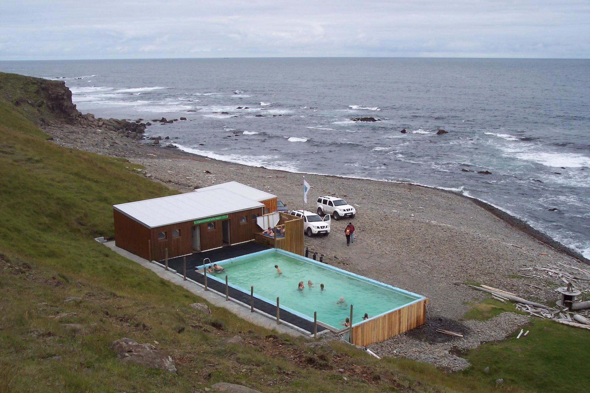
If you are trying to visit the Krossneslaug hot spring, then 643 is going to be your best friend. This is the only road that gets you there and it goes along the coastline. Everything about the drive is beautiful, but it is rated as hard. There are no river crossings since it is not an F-road but there are cliffy sections with water sitting right below you on one side.
832 – Vaðlaheiðarvegur
Drive along 832, which is an old mountain pass that brings you over Vaðlaheiði mountain in North Iceland. 832 is one of the three ways to get here and definitely the hardest option. But it can be fun for those who enjoy mountain driving. It is only open during the summer months
The other two ways you can visit here are taking the paid tunnel on the Ring Road or driving a combination of roads 84 and 83.
862 - Dettifossvegur
Located in Vatnajökull National Park in Northeast Iceland, Road 862 is a stunning route to drive. The road is 50.7 km or 31.50 miles long, running north-south from Road 85, south of Thvera to the Ring Road. It runs parallel to the unpaved Road 864 and takes you to the western side of the Dettifoss waterfall.
939 – Öxi
If you are looking for a shortcut from Djupivogur towards Egilsstaðir then drive along 939. This road is only open during the summer due to it being a steep mountain road. There are plenty of switchbacks and potholes along the way. It is challenging, but the views you will take in along the way make it worth it.
That concludes our complete list of F-Roads and popular off-roading routes in Iceland. As you can see, there are mountainous roads with once-in-a-lifetime views all over the country. If there is a specific road that you are wanting to try but don’t know which 4x4 car to rent, don’t worry. The specialists at Go Car Rental are here to help you! We want you to get the best experience possible when visiting Iceland, checking off all of our bucket list adventures.
FAQ:
Can you avoid F roads in Iceland?
It all depends on the destinations you want to see. If you are not comfortable driving F-Roads you do not have to. The Golden Circle and Ring Road will take you to most tourist destinations and they are mostly paved.
Are Iceland F roads worth it?
Yes, they are! Especially if you want to get some of the lesser-known locations in Iceland.
Is Dettifoss better from the east or west side?
The east side is better. The views of Dettifoss are more striking here and there is less mist from the falls.
Latest Blog Posts
 Guides
The 2022 Eruption of Fagradalsfjall Volcano - An Unforgettable Iceland Volcano Eruption
Iceland has become a top destination for mind-blowing mountain hikes, volcanic hot springs, and icy glaciers. Adventurers flock to the land of fire and ice to experience these thrilling opportunities! So it is no wonder why Iceland's volcanic eruptions attract visitors from all over the world!
 Waterfalls
Guide to Svartifoss Waterfall in Iceland
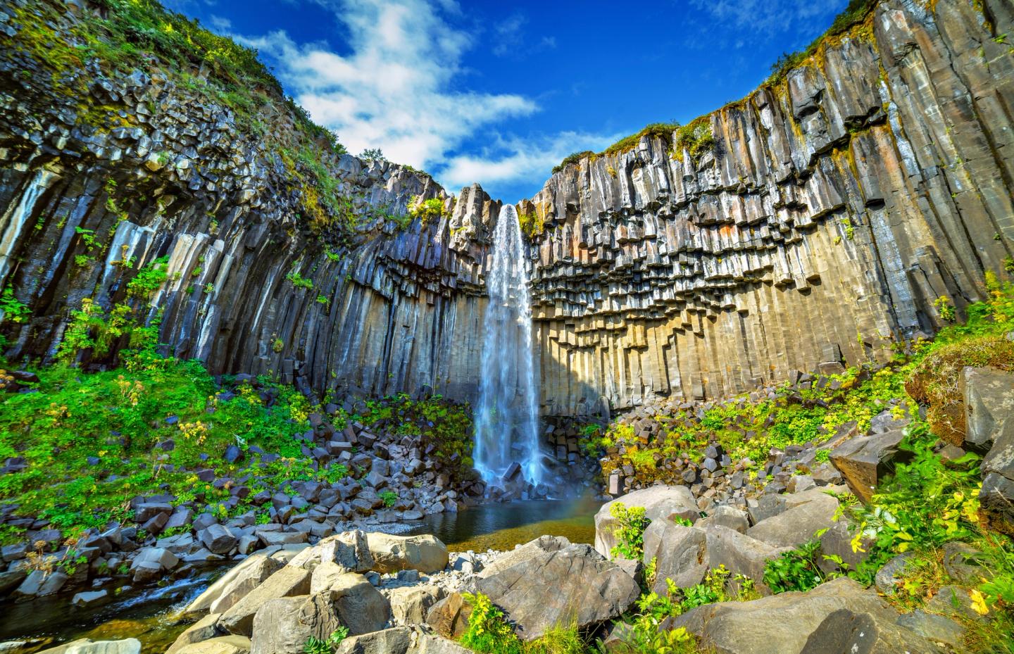
Svartifoss, or the 'Black Waterfall', is an exquisite natural wonder tucked away in the Vatnajökull National Park of Iceland. Known for its distinctive basalt columns and cascading water, this waterfall is a must-see for nature lovers and travelers.
 Itineraries
Top 11 Must-Visit Volcanic Sites in Iceland
Iceland has over 130 volcanoes located throughout the country, with 30 of them still active today. Some of them are famous for recent volcanic eruptions, while others have not erupted in thousands of years. There are so many notable Iceland volcanoes, it is hard to know which ones you can visit. With the nickname of The Land of Fire and Ice, you know you won’t be disappointed when it comes to Iceland's volcanic sites. Here are our top 11 must-visit volcanic sites in Iceland!